Introduction and geographical notes.
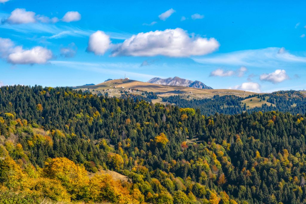
Lessinia is mainly a vast plateau of the Venetian Pre-Alps on the border between Veneto and Trentino. It covers an area of 82,000 hectares and primarily includes the province of Verona and partly also those of Trento and Vicenza. The plateau is carved by deep valleys, called ‘vaj‘, derived from tectonic fractures then shaped by the erosion of the streams.
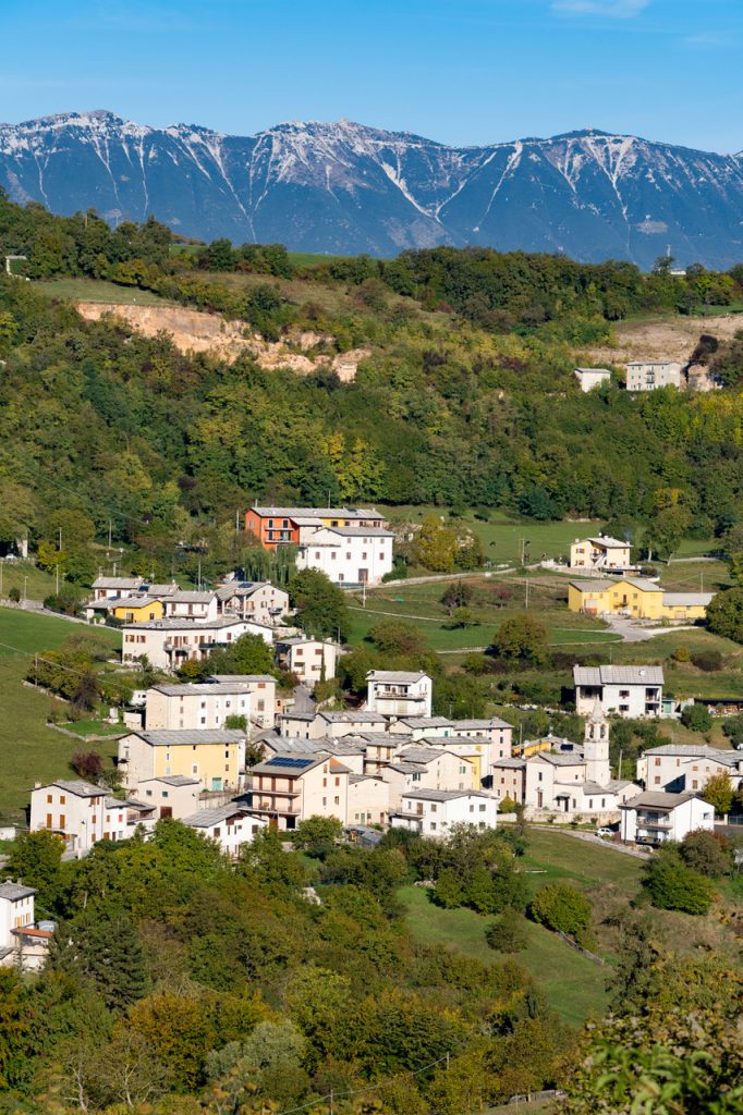
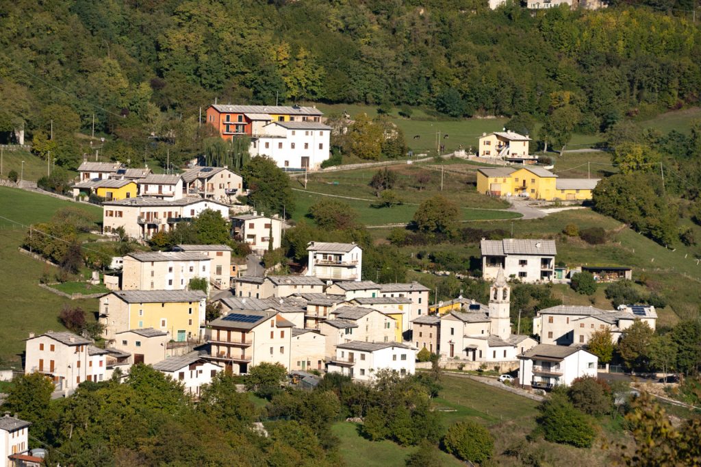
In short, we can divide Lessinia into three landscape varieties that denote the differences in flora, fauna and housing typologies: the foothills and hills, which extend from the valley floor up to 600/800 m of the ridges, ideal for prestigious vineyards , olive and cherry trees (Valpolicella, Valpantena, Val Squaranto, Valle di Mezzane, Val d’Illasi and the Tramigna, d’Alpone, Chiampo and dell’Agno valleys, the Soave hills); the mid-mountain area, between 800 and 1200 m, where the main inhabited centers and the districts with characteristic local stone roofs are located; the area of the high pastures, between 1200 m and the eastern peaks that exceed 1800 m, distinguished by alpine huts / mountain huts, and by rich beech and fir woods. The Monte Carega Group to the northeast exceeds 2200 m.
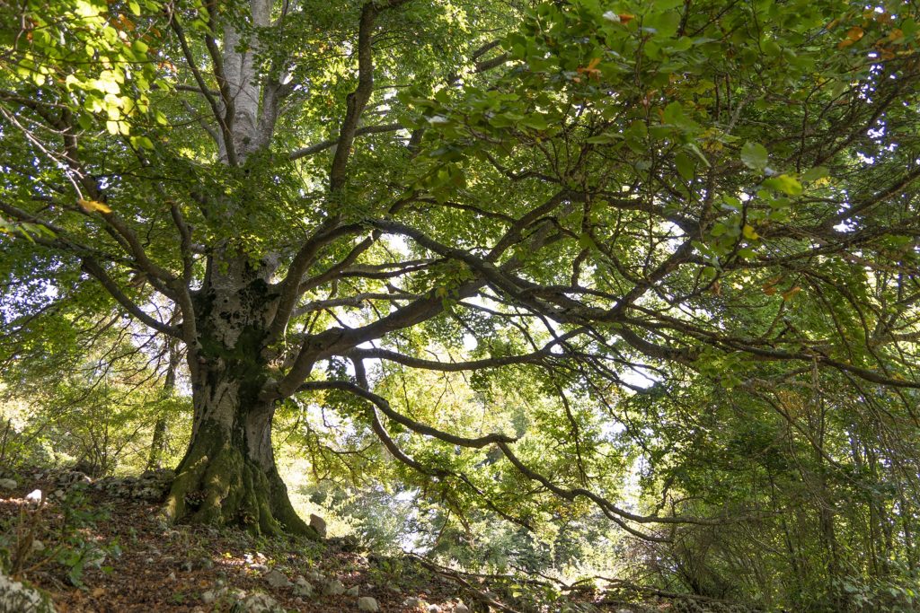
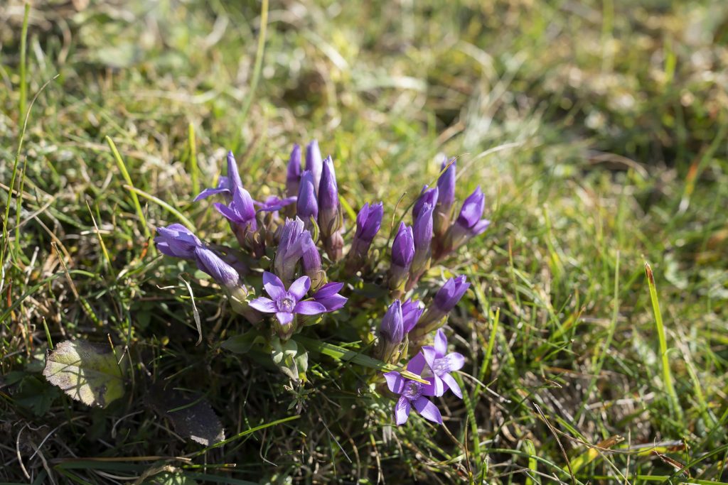
A virgin and unique territory, still unknown to mass tourism, which offers visitors a real paradise for lovers of outdoor activities in any season.
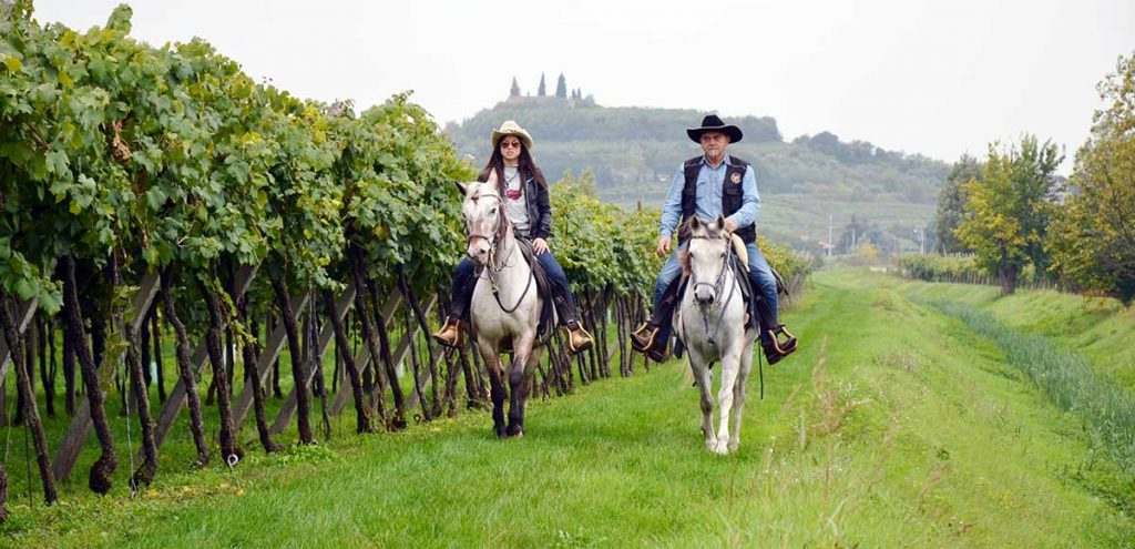
In winter, the pastures are covered with snow, turning into white dunes for snowshoeing or cross-country skiing and snow-kiting. In spring / summer the meadows are covered with flowers and there are numerous paths to explore the area on foot, on horseback or on a mountain bike without tackling challenging gradients. In autumn, a true explosion of colors: the centuries-old beech trees are painted with gold and red in the clear air, an unmissable spot for photography enthusiasts.
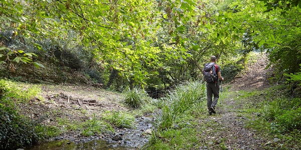
There are many opportunities for hikers to fully enjoy the Lessinia plateau, not only for the outdoors, but also for the culture and food and wine typical of the area.
In 1990, the Lessina Regional Natural Park was established in the central plateau area and the peaks on the border with Trentino, a real gem to visit. You will feel like you are in the Scottish Highlands!
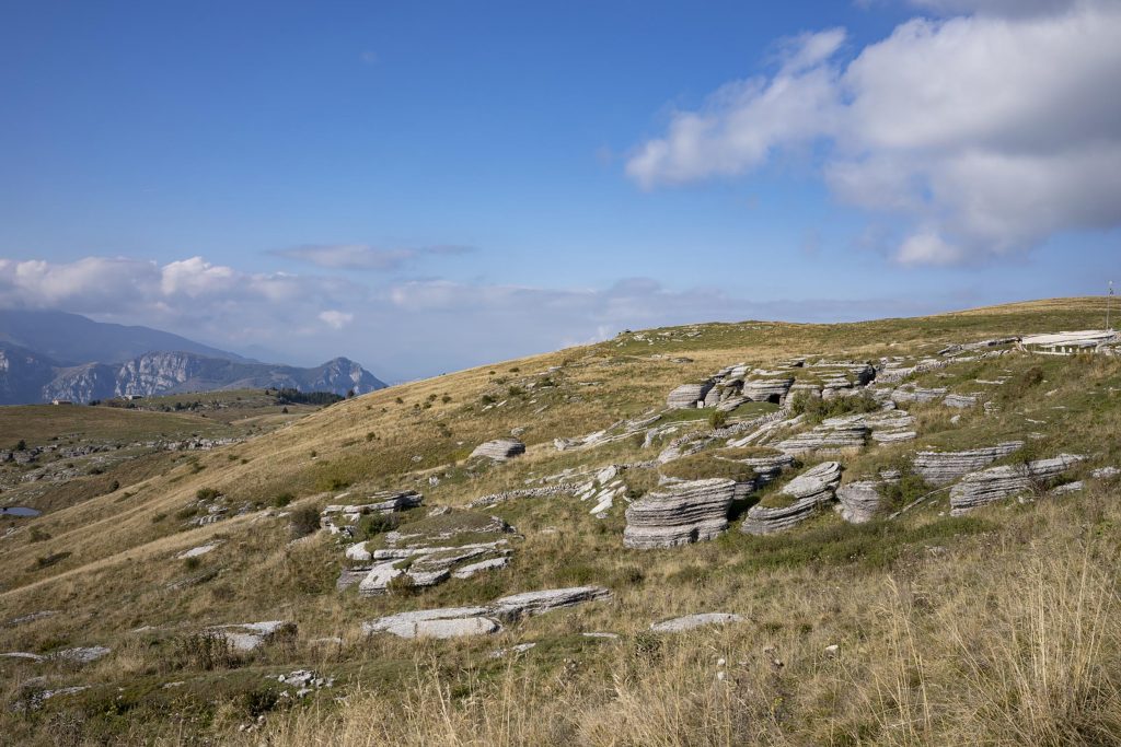
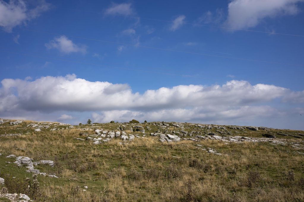
Origins of the name.
In this case, investigating the curious origins of the name helps even better to understand the conformation of this incredible territory and its history. Monte Lessino (in the singular) indicated the area dedicated to grazing in the mountains north of Verona and already in the 9th century it appears mentioned in documents with the term Luxino.
The hypotheses about this term are various. Boiled from the medieval Germanic Lees (pasture). From the personal name Alessio, district of Erbezzo (VR). From the Roman term lixia therefore luxare (deforesting, similar to the widespread roncare), but meaning the action of making the surface ‘smooth’ with leveling operations and the Roman agricultural practice of ‘debbio’, consisting in burning the undergrowth, to form grasslands suitable for haymaking and grazing. Another suggestive hypothesis comes from the ancient term Luxinum that is “Mountain of Light”.
In any case, all the hypotheses are perfectly suited to the territory, highlighting its most important characteristics.
What to see, what to visit and what excursions to do in Lessinia.
The Molina Waterfalls Park.
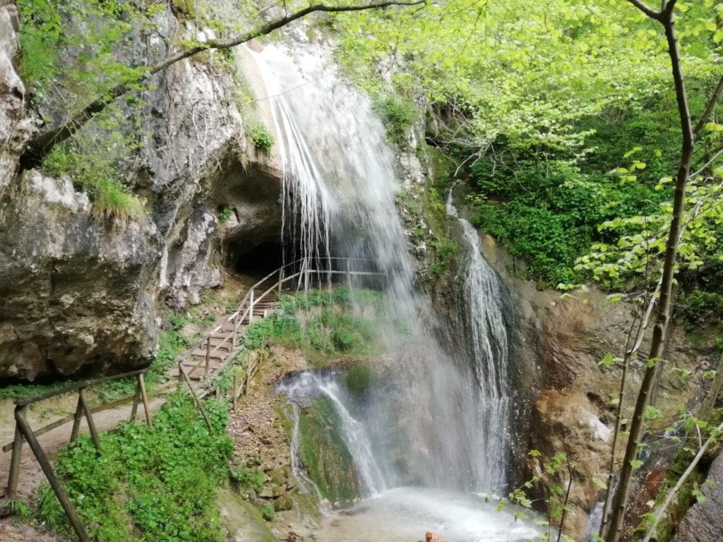
Molina is a medieval village – in the Municipality of Fumane (VR) – with ancient courtyards and stone houses, with the traditions of the miller and the malga still alive. Particular and protected flora and fauna have made it possible to create the Botany Museum (located in the building next to the Molina bell tower), which exhibits about 300 species of the flora of Lessinia and Valpolicella. To underline the presence of rare species of wild orchid, a real spectacle.
The Molina Waterfalls Park is the ideal place for naturalistic excursions in the dense vegetation alternating with vertiginous walls of bare rock, large caves and spring water cascades. In the Molina Park there are various itineraries: from the environmental itinerary (or Path of the Woods) to the historical itinerary (or Path of the Molini), to the archaeological itinerary (or Path of the Caves). For more info click here.
The Fossil Museum and the Pesciara di Bolca.
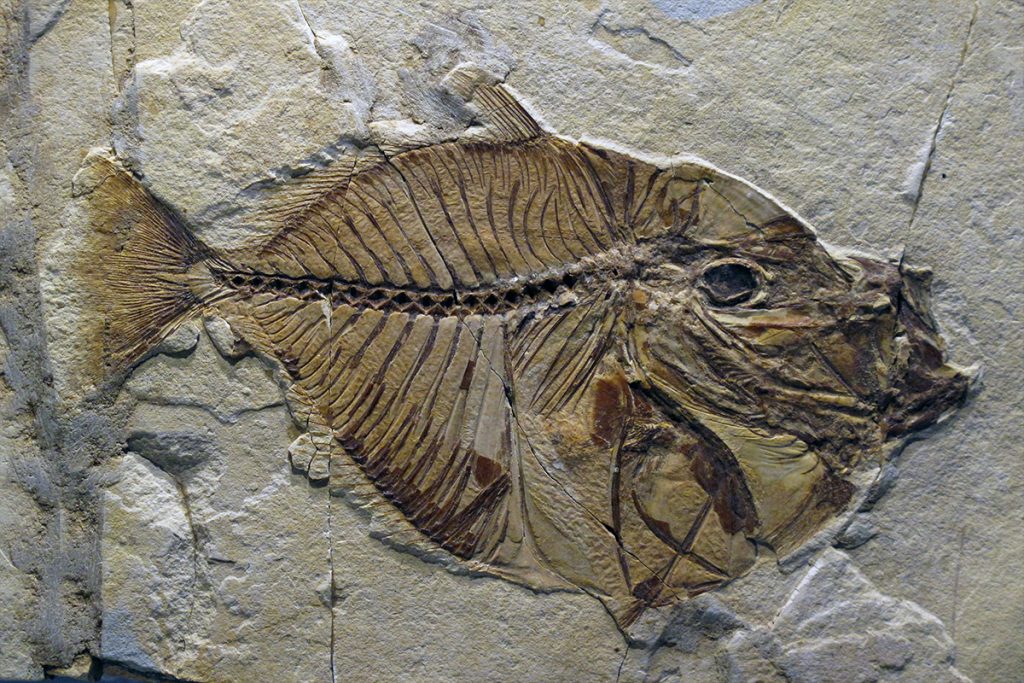
The area of Bolca (VR), 50 million years ago, was home to a warm sea, rich in tropical fauna and flora, where fish and plants proliferated. The Fossil Museum of Bolca is a precious witness, with its 3 rooms that can be visited. The first room illustrates, using captions and drawings, the geological and environmental characteristics of Lessinia, explaining the phenomena that occurred millions of years ago and which led to the fossilization of fish. The second and third room collect the fossil finds with well preserved fish species, including a specimen of “angelfish”.
After the visit, just drive about 2.5 km following the signs for Pesciara. You arrive at a large parking area followed by a stretch of dirt road, which can only be covered on foot, of about 1.2 km until reaching this spectacular mine.
The Pesciara di Bolca is in fact still today a deposit of fossils, which can be visited, from which rocky layers containing them are extracted. These fossils are known all over the world for their extraordinary state of conservation. The Monte Postale and Monte Purga are also interesting for the fossil finds. For the Museum and Pesciara you will find further info by clicking here.
Breathtaking views from Monte Tomba.
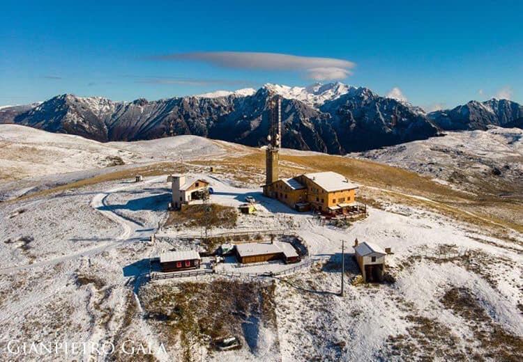
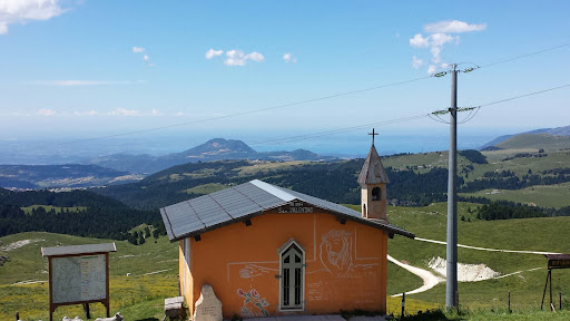
Monte Tomba (1765 m) is a mountain in Lessinia and owes its name to its owner, Count Tomba. Walking from the Primaneve Refuge to Monte Tomba you can enjoy splendid views: from a distance you can admire Lake Garda, the Monte Baldo chain, the Adamello glaciers, the Trentino mountains, the peaks of the Small Dolomites and the Venetian plain. Then there is the enchanting panorama from the more solitary Monte Sparavieri, ideal for making a nice circular route (both in summer and in winter with snow) including the two peaks.
To reach Monte Tomba you start on foot from Passo Branchetto, in the municipality of Bosco Chiesanuova (VR) or from San Giorgio. In winter, the Primaneve Refuge can be reached by following the various marked footpaths (ranging from 1.5 to 8 Km). In summer it can also be reached by car along a dirt road of about 3 km passing through Bocca di Selva or about 8 km passing through Malga Lessinia.
The defensive redoubt of Malga Pidocchio.
During 1915 and 1916 the Lessinia was the scene of clashes between the Italian and Austrian troops. The border passed in the area and consequently defenses were erected, with trenches, tunnels and caves to house soldiers and ammunition.
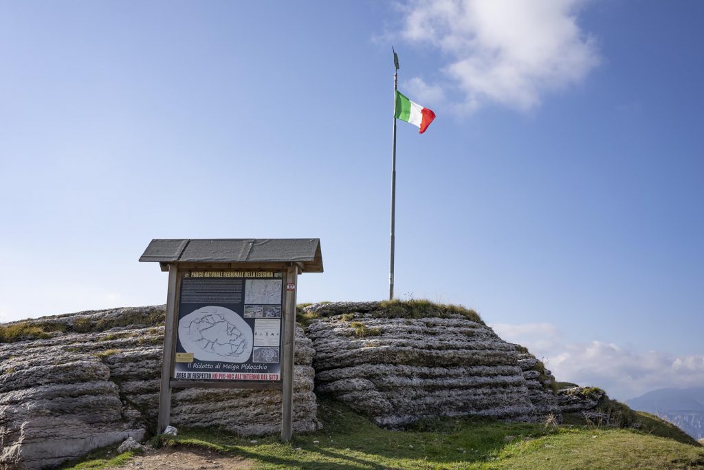
One of the defensive complexes has become an ecomuseum, inaugurated in 2014: it is the defensive Ridotto of Malga Pidocchio. It is located between Malga Lessinia and the Castelberto Refuge, in Alta Lessinia (Erbezzo – VR). Malga Lessinia was an Italian barracks while today it is a typical restaurant. The Castelberto Refuge, a 40-minute walk away, used to be an Austrian barracks, now also transformed into a typical restaurant.
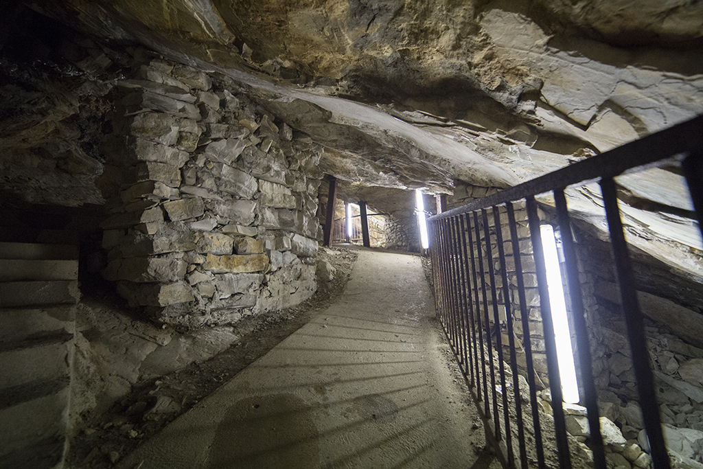
The Ridotto di Malga Pidocchio is a site of 4 thousand square meters, over 400 meters of trenches, walkways and caves: the old military road that connected the town of Erbezzo with Bosco Chiesanuova and the Italian border on Monte Castelberto. Walking through the narrow passages of the trench gives the perception of how difficult it was for the soldiers to survive during the Great War.
The Veja Bridge.
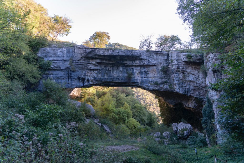
Ponte di Veja (620 m a.s.l.) can be reached in a few minutes by a path that starts from the parking lot near Loc. Giare di S. Anna D’Alfaedo (VR).
It looks like an entrance lintel of an immense cave, originating from the collapse of a part of the vault. It is considered among the largest and most beautiful in Europe, 29 m high and about 50 m long.
The name “Vea” or “Veja” seems to come from “vecla, vicla” that is “water”, or from “wegla” that is “old”. There are many artists who have represented him in their works: it is enough to mention the fresco by Mantegna of 1474 which is located in the Palazzo Ducale in Mantua.
The colonies of bats that live in a cave below are also of significant zoological interest.
The Spluga della Preta and the Cobbler’s Cave.
The Spluga della Preta (1497 m a.s.l.) is one of the most famous abysses in the world, a 877 m deep void within the Corno d’Aquilio. It is the abyss that more than any other in Italy is linked to the history of exploratory caving. The first dates back to 1925. Specimens of troglobe insects (which live only in caves) with somatic adaptations to the darkness of the underworld have been found. In 2005 a film was made that tells the story and the adventures that are linked to the Spluga della Preta. A very difficult undertaking, which led a film crew to film up to 800 meters deep, thus creating the deepest images ever shot in Italy.
However, the mystery of this abyss, which runs down the heart of the mountain, has not been revealed. Generations of internationally renowned speleologists have tried to chase the air currents that most likely flow towards the Adige Valley; but to date the exploration is not considered completed. It can be reached up to its entrance, suitably fenced and equipped with an interesting information panel.
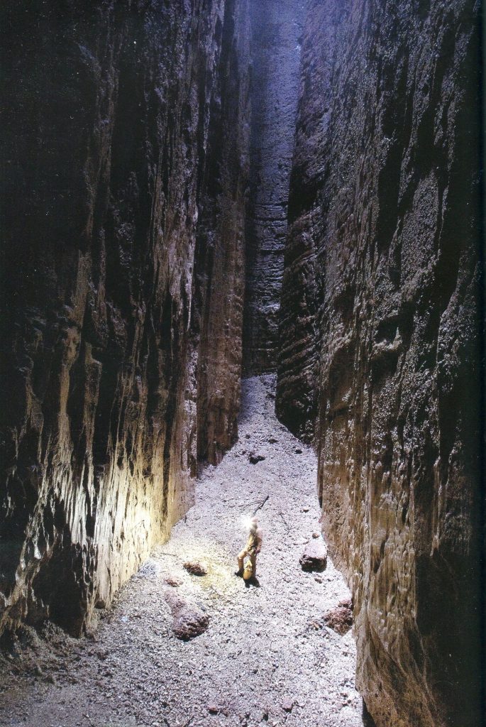
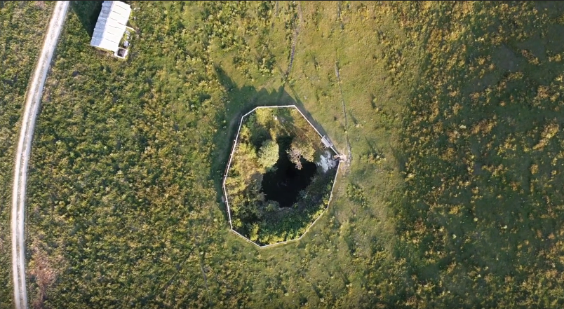
How to get to Spluga della Preta: the shortest way to reach it is to park at Malga Fanta (San’Anna d’Alfaedo – VR), in a few steps you will arrive on site. If, on the other hand, you want to walk a little more (about 2h round trip) you can start from Passo Fittanze.
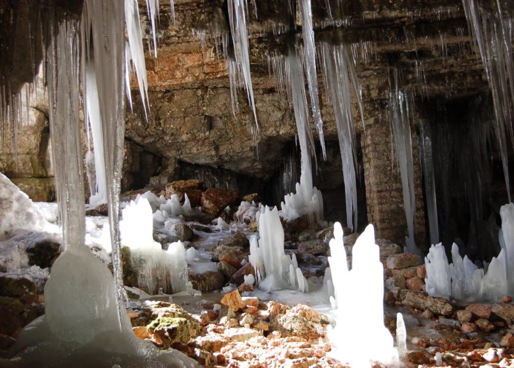
Continuing downhill, about a 10-minute walk, you will find the Cobbler’s Cave. This can be visited, all you need is a torch. It is also very special: first of all for the ceiling made of red limestone slabs from which ice stalactites dangle until late spring. This is because the temperature inside is always much lower than that outside. Secondly, because this change in temperature creates a constant haze near the entrance to the cave. This phenomenon has created stories and legends and in this regard it is said that the name of the cave derives from a cobbler who grazed sheep on the Corno d’Aquilio. On a night of full moon he surprised the witches doing one of their rites and overwhelmed by curiosity he decided to spy on them, but letting himself be discovered. To save himself he tried to take refuge inside the cave, but they found him and transformed him into a stalactite.
The Valley of the Sphinxes.
The Valley of the Sphinxes, north of the town of Camposilvano (1200 m a.s.l.), is characterized by a series of monoliths created by the different erosion of two types of limestone that make up these structures. The base, made up of yellowish-white Oolithic limestone, is more thinned than the top part, made up of Rosso Ammonitico instead. These formations thus take on the appearance of “rocky mushrooms” reminiscent of the Egyptian Sphinxes. Reaching it is easy, just park your car at the side of the road and take the marked path that takes you there in a few minutes.
The Covolo di Camposilvano.
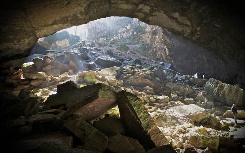
The Covolo di Camposilvano is a spectacular collapse pit with an adjoining residual cave which, according to the oral tradition of the locals, inspired Dante’s structure of Hell. The well has a diameter of well over a hundred meters and is at least sixty deep, with a large ‘covolo’ (= cave) 70 m wide by a height of 35 m and a depth of over 50 m opens at the bottom. The air inside the nest is always very cold and the dripping almost always turns into ice. After crossing the edge, you go down into the center of the amphitheater between huge collapsed boulders up to an incredible panoramic balcony (where there is also a bench) from which you can admire the deep entrance to the huge cave. I went down a few more meters, at the height of the vault of the cave, the temperature changes suddenly with a truly incredible jump, and you immediately have the sensation of entering a refrigerator.
It can be visited starting from the nearby Geopaleontological Museum of Camposilvano which exhibits a rich collection of ammonites, a dinosaur footprint, an entire cave bear skeleton and an enigmatic tablet. The museum ticket includes a visit to the Covolo.
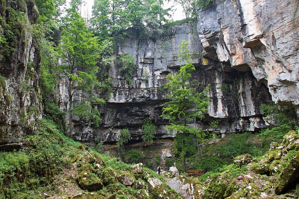
The Fumane Cave.
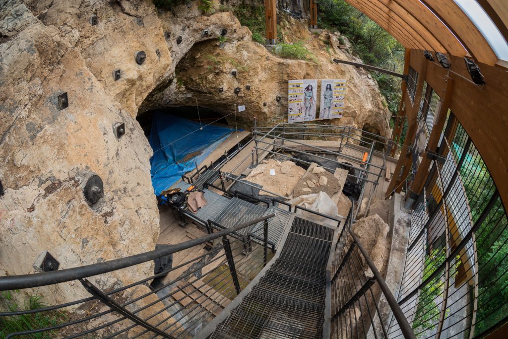
Of considerable archaeological interest are some cavities present in the impervious vaj that flow into the Fumane Valley, among which the Fumane Cave stands out, an extraordinary archive of the evolutionary history of man, in which flint artefacts, remains of mammals, hearths, accumulations of waste and stone paintings document the frequentations of Neanderthal Man and the first modern men (Homo sapiens sapiens). For more info click here.
Forests of Folignani, Giazza and Val D’Adige.
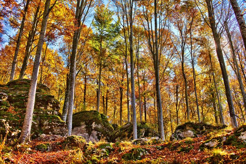
They are undoubtedly the largest and most significant wooded areas in the whole of Lessinia. Consisting mainly of tall forests of beech, spruce, silver fir and black hornbeam, they represent the ideal habitat for numerous animal and plant species. There are monumental trees and geological elements of considerable importance. The first two areas are included in the list of Sites of Community Interest (SIC), while all three wooded areas are classified as an Oriented Nature Reserve Area of the Park.
Also part of the Sites of Community Interest is the Valon del Malera, a valley of glacial origin located in the north-eastern part of the plateau that has alpine-like environments, interesting karst phenomena and traces of ancient pastoralism.
Another worthwhile excursion, both in summer and in winter, is the one in the Bosco delle Gosse among the huts and woods of the Parpari, which frame the eastern Lessinia. You can start from near the Parparo Vecchio, a suggestive typical place where you can taste the local cuisine.
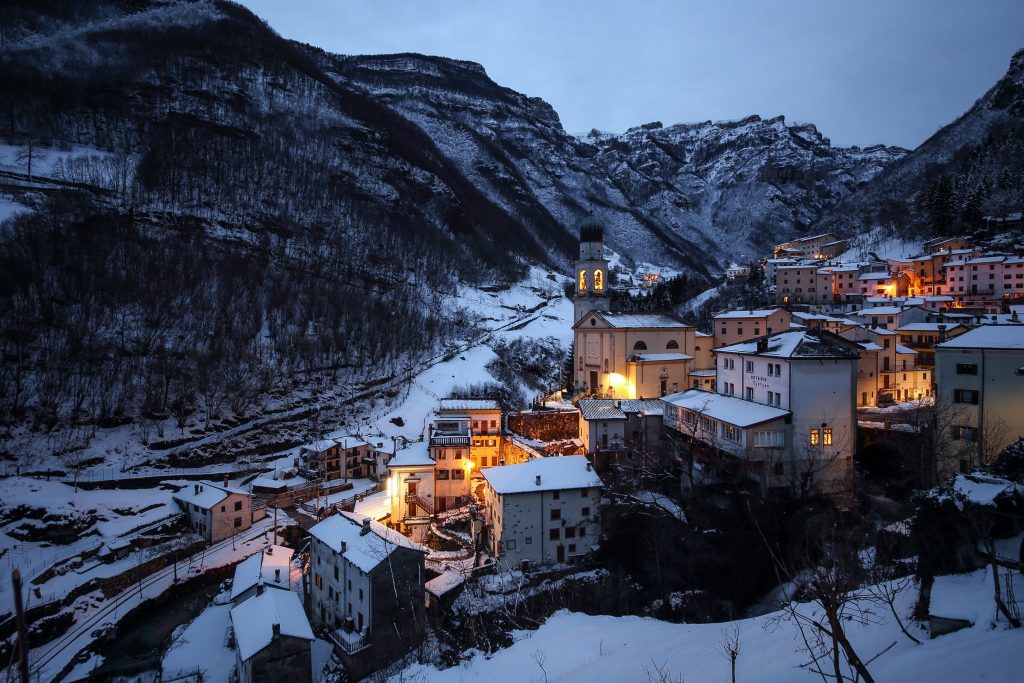
The Cimbrian town of Giazza (VR), at 750 m above sea level, the last linguistic oasis of the ‘Tauch’, among the XIII Cimbri Municipalities of Lessinia, deserves to be mentioned. Here there is also the relative museum, which explains its history, uses and customs.
The presence of the Cimbrian culture is due to the medieval migration of shepherds and woodcutters from Bavaria, subsequently called ‘Cimbri’, who have had extensive concessions exploited with the deforestation of large areas, the production of coal, the mountain pastures. The Cimbrian enclaves, widespread in Lessinia, in the upper Vicenza, in the Asiago plateau, in the upper Valsugana, have manifested themselves with their own language, culture, architecture and with a specific social typology made up of undivided common properties assigned in rotation in loaned to the various family clans and governed by the elderly members of the families.
The Covoli of Velo Veronese.
The Covoli di Velo are a system of horizontal caves for a total development of over 500 m, dug by water in the formation of the Gray Limestone Group, consisting of large rooms and numerous tunnels connected by bottlenecks. A large amount of fossil remains belonging to the Cave Bear (Ursus spelaeus) have been found. Currently they are the home of a colony of bats that should not be disturbed during the winter hibernation.
How to get to Covoli di Velo: starting from Velo Veronese (VR) in the direction of Badia Calavena (VR), follow the signs for the Tezze and Toldi districts, arriving at a bend, then take the road on the right, continuing for about 100 meters . At this point you will see the signs of a path on the left side that passes through Covoli di Velo, leave the car in the parking lot on the opposite side and take the path that descends, crosses the valley floor and continues almost flat. On the right you pass under a pine forest, at its end a path bends to the right to go up the pine forest to the entrance of the Covoli. In all, it’s a 10-minute walk. Bring a torch and if you want to go inside it would be good to be accompanied by expert speleologists with adequate equipment.
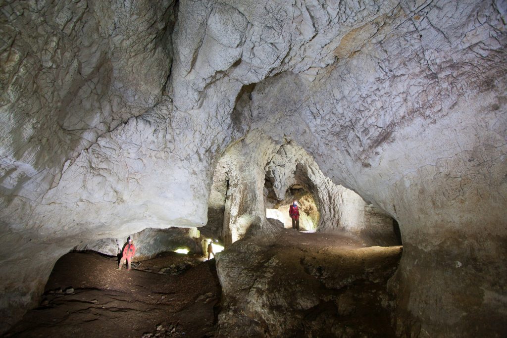
The Columnar Basalts of San Giovanni Ilarione.
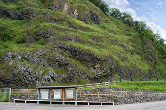
Extraordinary natural scenery, located in the Val d’Alpone north of the town of S. Giovanni Ilarione (VR), characterized by imposing prismatic shapes originating from the consolidation of submarine and subaerial lava flows. The columnar basalts appear to our eyes almost like a giant beehive or long organ pipes, according to the point of observation: perfectly defined hexagonal and pentagonal prisms, with a shiny black color, which emerge imposingly in the surrounding landscape. But what explanation can be given to their appearance? Many do not know that the hills of the Val d’Alpone area are ancient volcanoes which, during their eruptive activity, gave rise to this unique and exceptional geological heritage. To the site of San Giovanni Ilarione we owe even the creation of the term “hilarionis”, adopted today by paleontologists all over the world. The formation of the coral reef which took place 45 million years ago brought to the surface dozens of species of molluscs: a unique malacofauna, whose classification could only recall the name of its town of origin.
Naturalistic path of the “Strati di Roncà”.
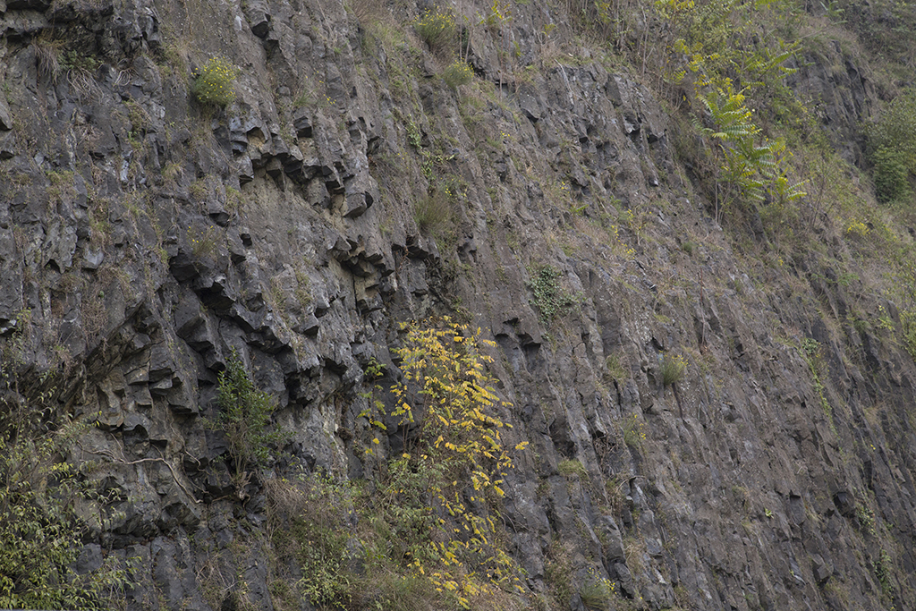
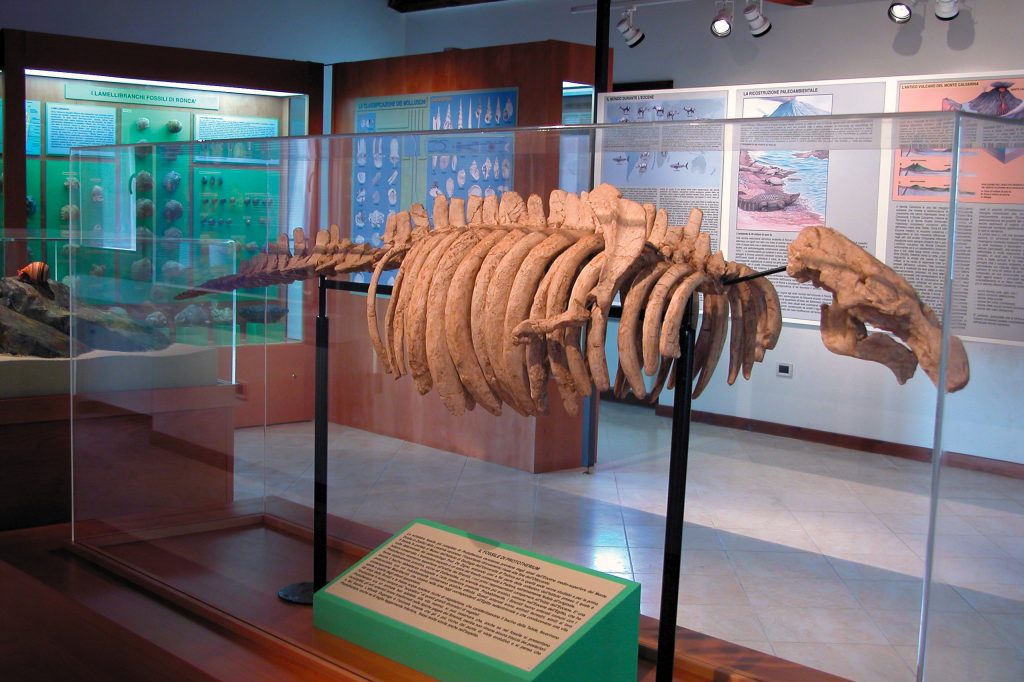
The extraordinary wealth of fossil molluscs of the Strati di Roncà, located behind the town of Roncà (VR) on the slopes of Mount Calvarina – the wreckage of an ancient volcano – is known to scholars of paleontology from all over the world. These formations were deposited about 40 million years ago in a marine environment marked by atolls, cliffs, islands and volcanoes in turmoil. A rich collection of gastropods and lamellibranchs and a wonderful fossil skeleton of a siren, the Prototherium veronense, are housed in the Paleontological Museum of Roncà, open on Saturdays and Sundays.
Food and wine: the typical products and Dop of Lessinia.
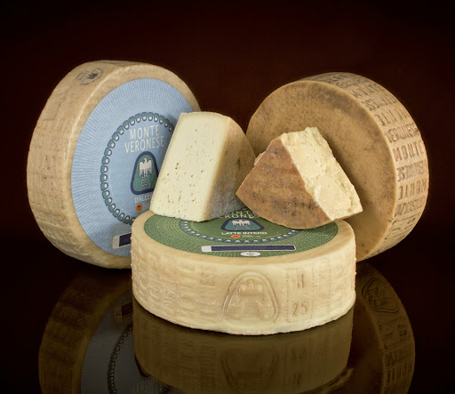
In Lessinia, an area of uncontaminated pastures, its PDO cheese par excellence could not be missing: Monte Veronese cheese. It is produced with cow’s milk and depending on the aging it has various combinations with wines and various uses in the kitchen. Among the latter we remember an absolute specialty to be tasted in local restaurants / mountain huts: the “Gnochi sbatui“. A first course of poor cuisine made with water and flour and seasoned with butter, sage, Monte Veronese cheese and smoked sheep’s milk ricotta.
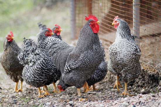
Not only milk, butter and native dairy products (which can be purchased at local grocery stores), but also the breeding of a specific breed of hen, the Grisa della Lessinia, for the production of prime quality eggs and meat. This is due to the place where they grow and the natural and rigorous diet. Taste to believe!
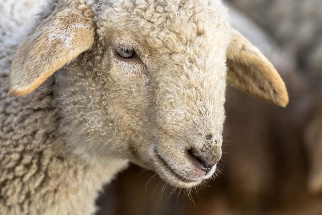
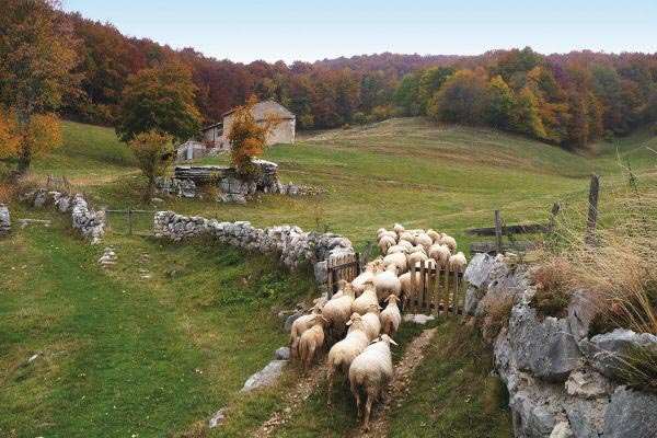
In the high pastures of Lessinia there are not only cows, but also an ancient native breed of sheep, the Lessinia Brogna Sheep, a cultural biodiversity heritage that has reached the precious status of the Slow Food Presidium.
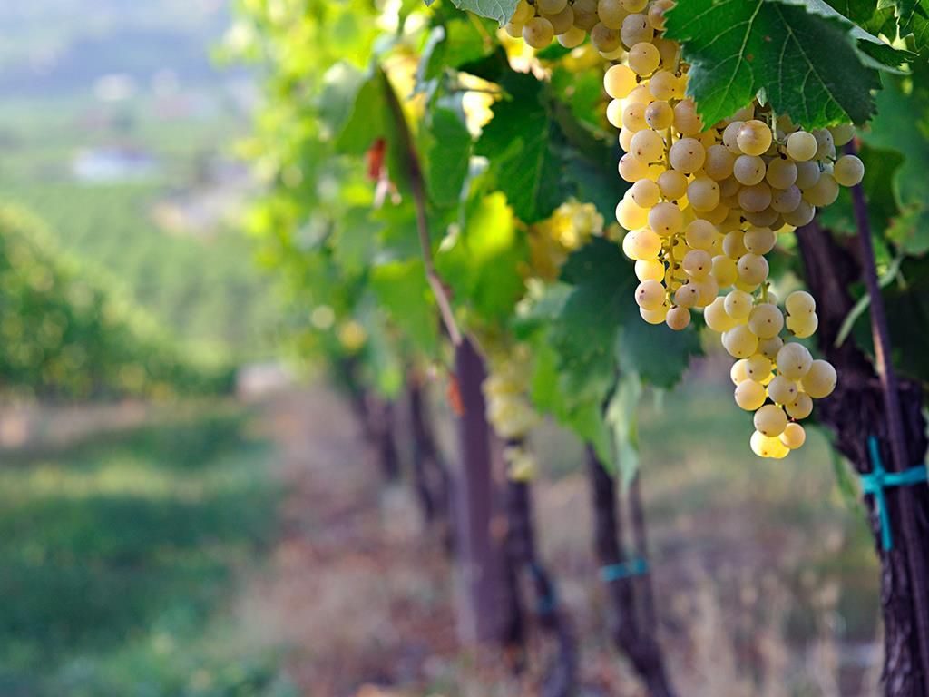
Finally, let’s move on to another pleasure of the table: wine of course! Lessinia is a fertile land for the production of “Monti Lessini Dop” wine, which includes the following types of wine: White; Rosso and Passito (the latter only with indication of grape variety). The Denomination also includes numerous specifications of the grape variety.
We conclude the roundup together with a toast with the “Lessini Durello Doc” sparkling wine, protected by the consortium of the same name. The history of the Lessini Mountains is in fact intertwined with that of its native vine, Durella. An identity bond between this ancient grape (formerly known as Durasena) with a marked character and hard skin and a hilly and mountainous landscape with glimpses of rare beauty. There is even the tourist route: “the durello wine road”.

Lessinia, a very rich, varied, interesting world made of nature and history.
From its rocks come the most fantastic fossils that we can see in the Natural Science Museum of Verona: fish, shells and plants. The frequentation of man in these valleys is lost in the mists of time, from Neanderthal man to the evidence of the characteristic Cimbrian culture.
Archeology, ethnography, rural environments, pastures, great geomorphological and paleontological interest, photography, landscape, sport, free time, hiking and horseback riding, mountain biking, Nordic skiing, and genuine food and wine products… Do we need to add more?
See you next time dear Outdoors!
Silvia Turazza – Garda Outdoors editorial staff
