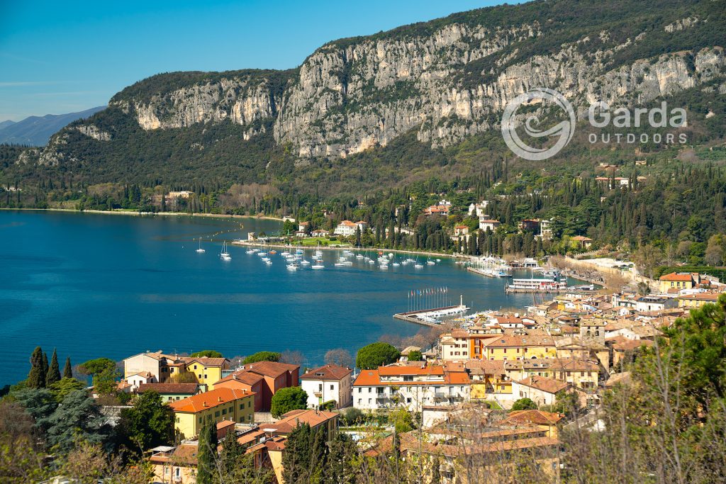
In this article, we take you to the top of Rocca di Garda, a small mountain peak (283 m) overlooking the Veronese shore of the lake, marking the border between the municipalities of Garda and Bardolino.
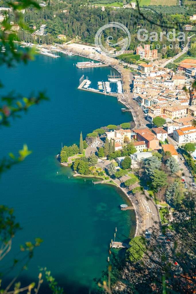
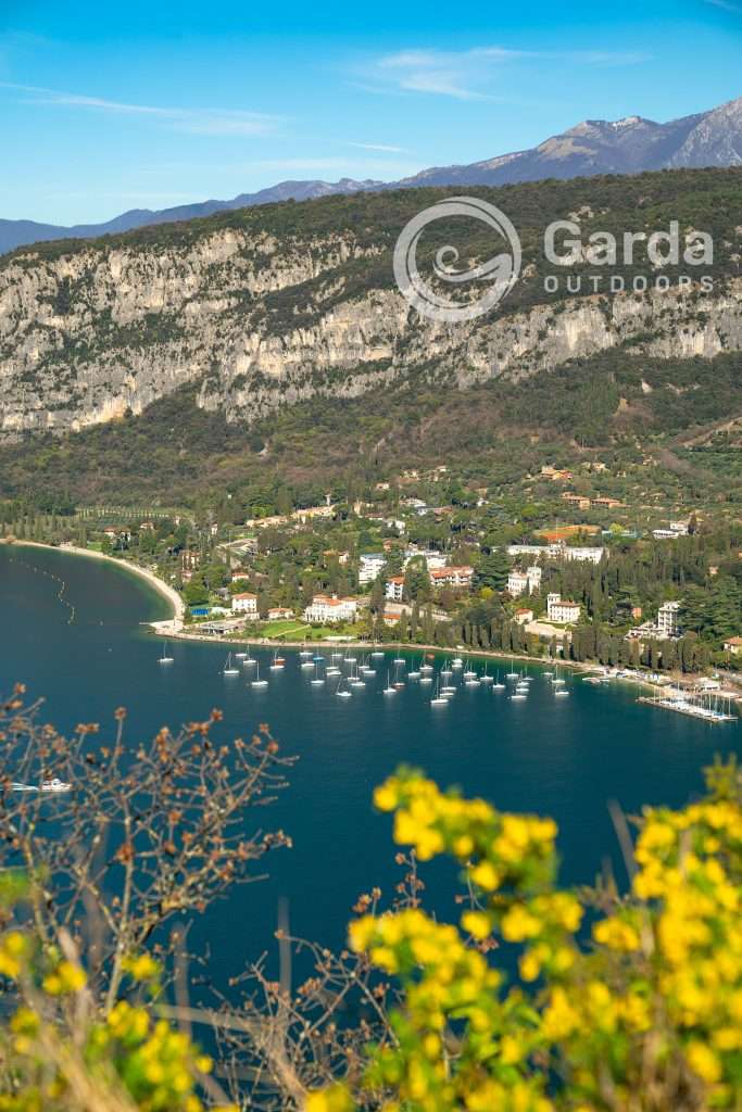
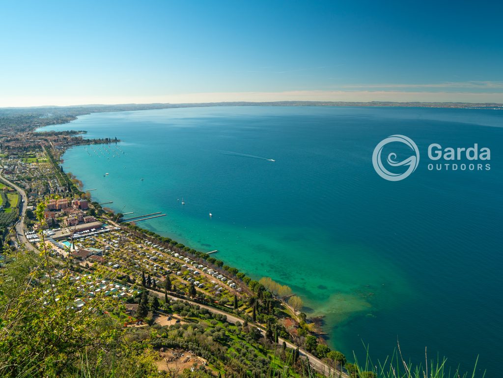
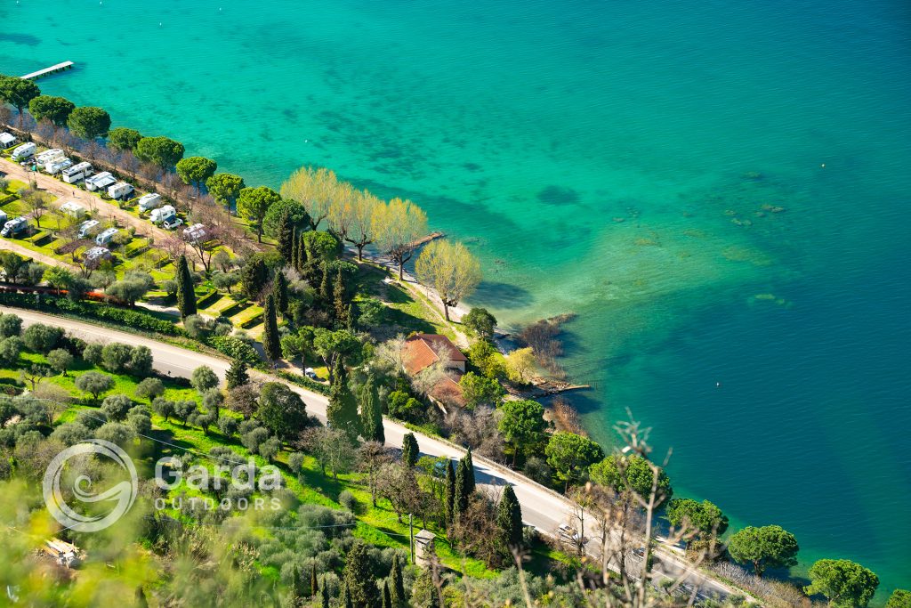
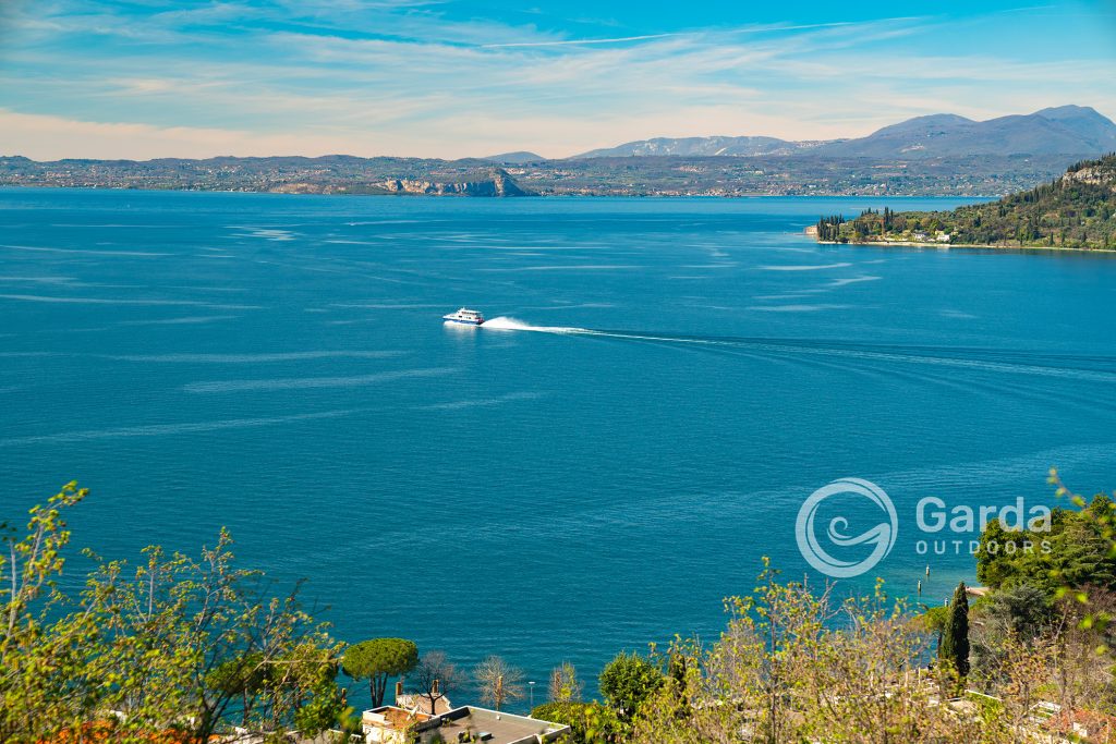
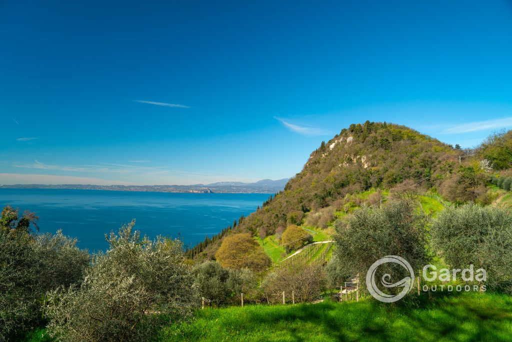
From here, you can enjoy incredible views that can teach you, at a glance, a lot about the geography of Lake Garda!
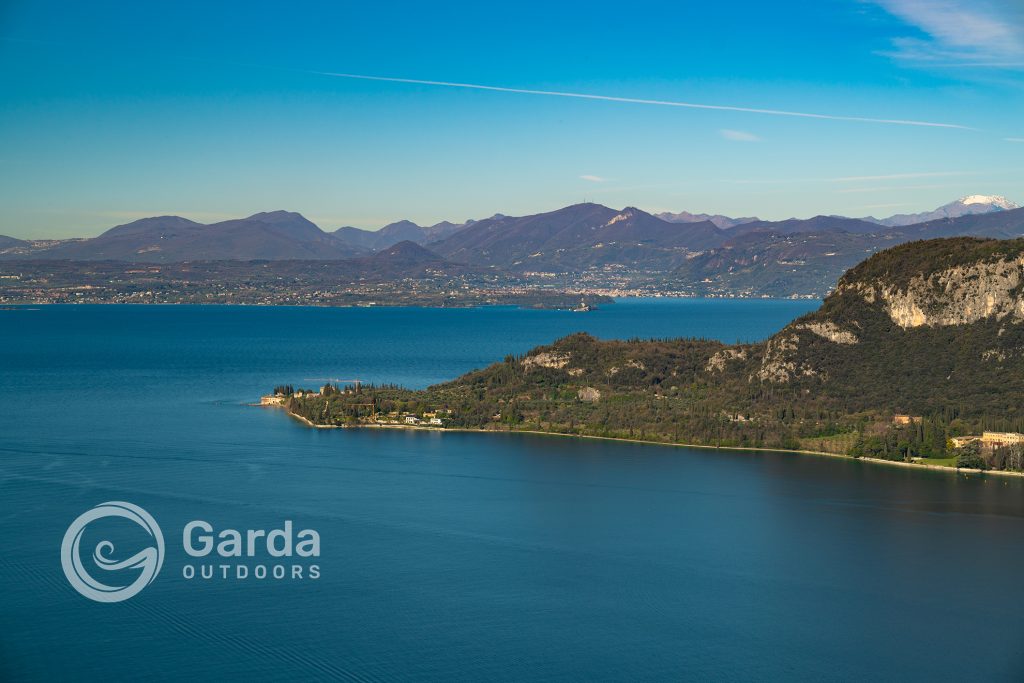
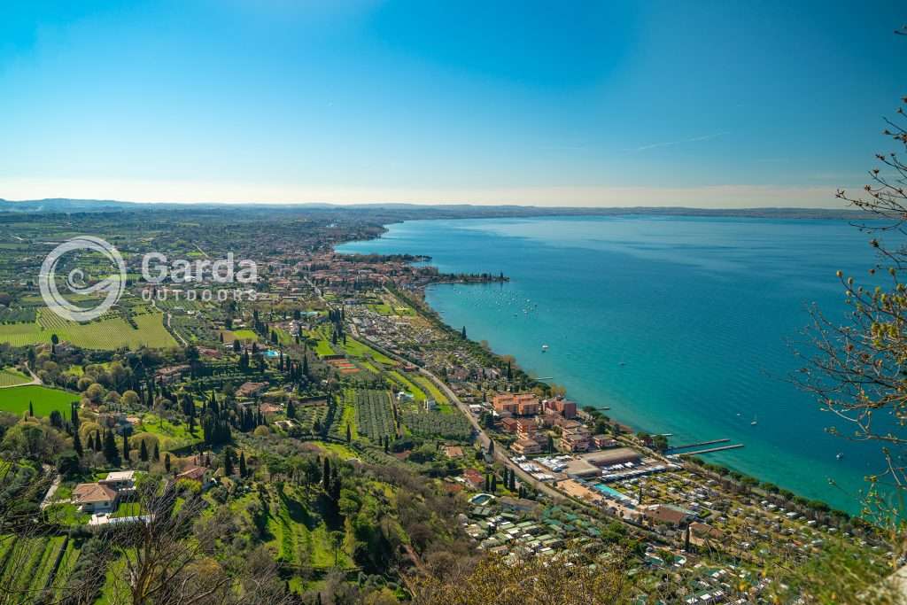
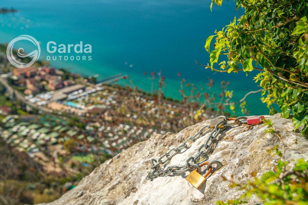
To the north, your gaze can span: Garda, Punta San Vigilio, the peaks of Monte Baldo, and on the opposite shore, Rocca di Manerba, Isola del Garda, and the summit of Monte Pizzocolo towering highest of all; to the south instead, you can admire the entire Lake Garda with Bardolino and all the way along the coast to the peninsula of Sirmione and the hills of Valtenesi.
How to get to Rocca di Garda, where to park, and useful info
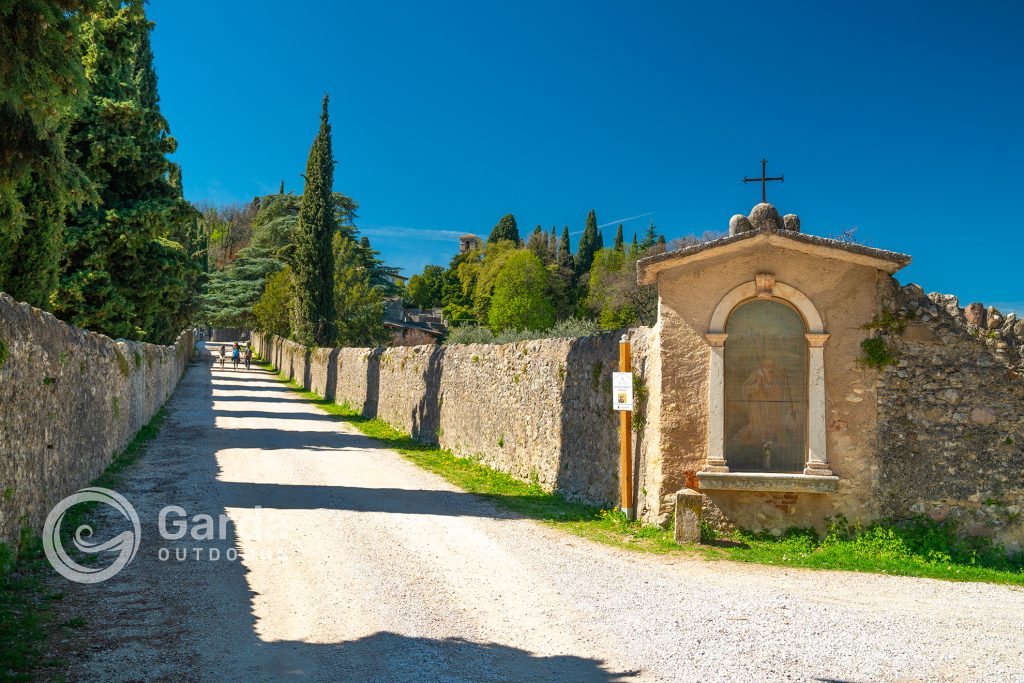
To reach the trailheads that take you to the top, we recommend parking near the cemetery of Garda (Via San Bernardo – Garda). There is a large paid parking lot on Via Giovanni Caboto. Both Via Giovanni Caboto and Via San Bernardo have free parking spaces with white lines, but they have a 60-minute or 90-minute time limit.
The trails leading to Rocca all start from Via San Bernardo, just past the cemetery.
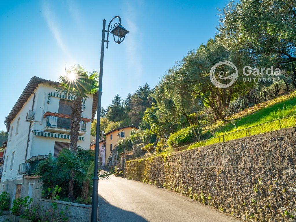
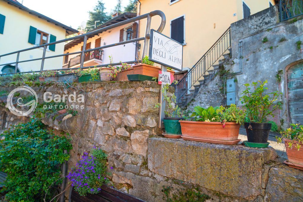
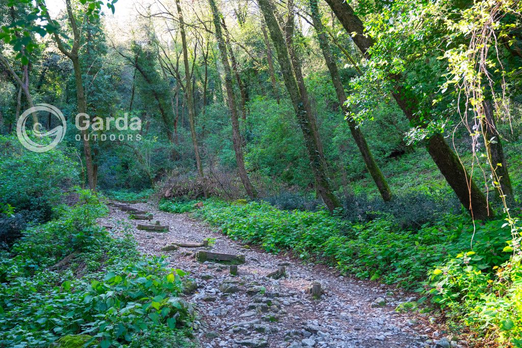
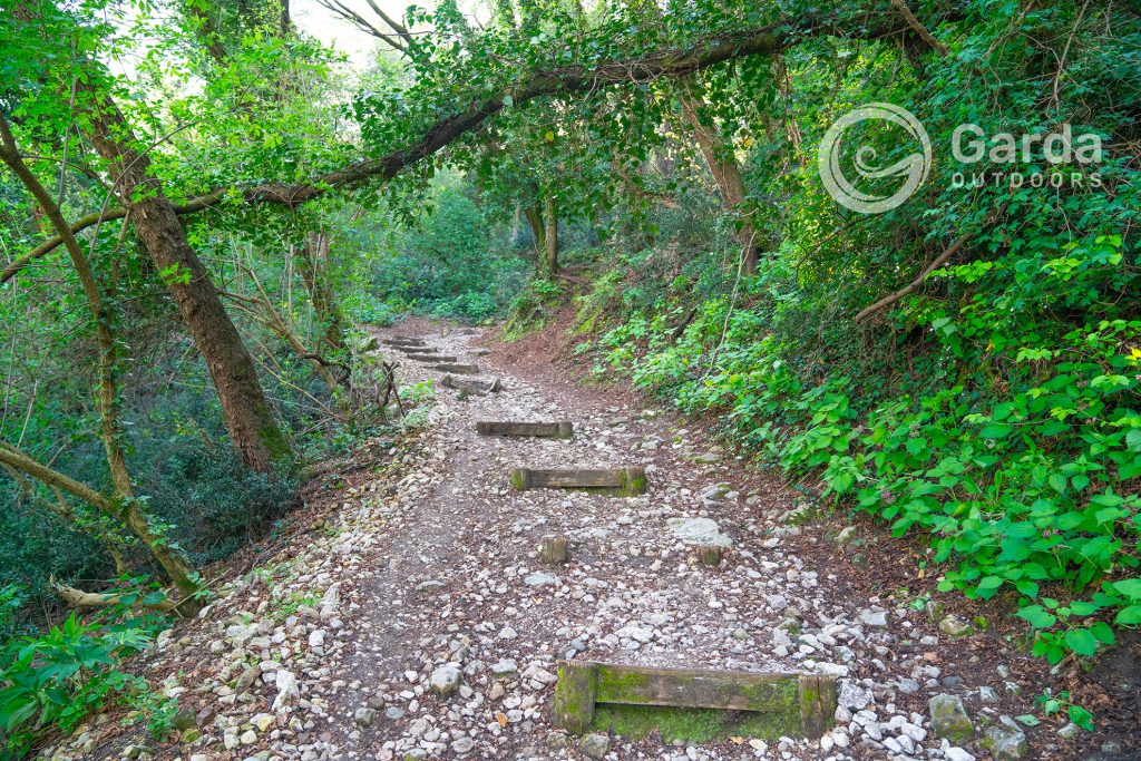
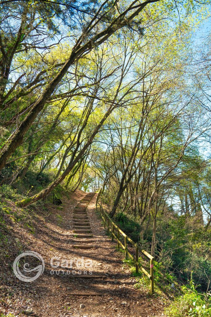
We recommend choosing route A (because it is both comprehensive and the fastest), taking Via degli Alpini uphill and then leaving the paved road and entering the woods. You can then choose whether to visit all the stops we tell you about in the next section or climb straight up.
The total elevation gain of the walk is about 220 meters. If you complete the entire circuit, it takes about 2 and a half hours round trip; if you go directly to the viewpoint, it takes about an hour and a quarter for the round trip.
The hike is easy and suitable for everyone, including families with children, but we recommend wearing hiking shoes as some sections in the woods can be a bit slippery.
For the safety of children and our four-legged friends, we recommend utmost caution once you reach the viewpoint as it is located on a cliff without barriers.
What to see at Rocca di Garda, besides the breathtaking panorama
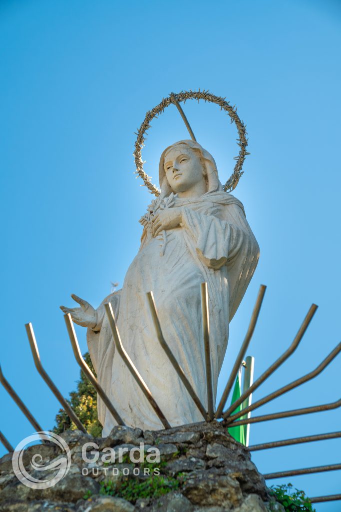
The Madonna del Pìgn
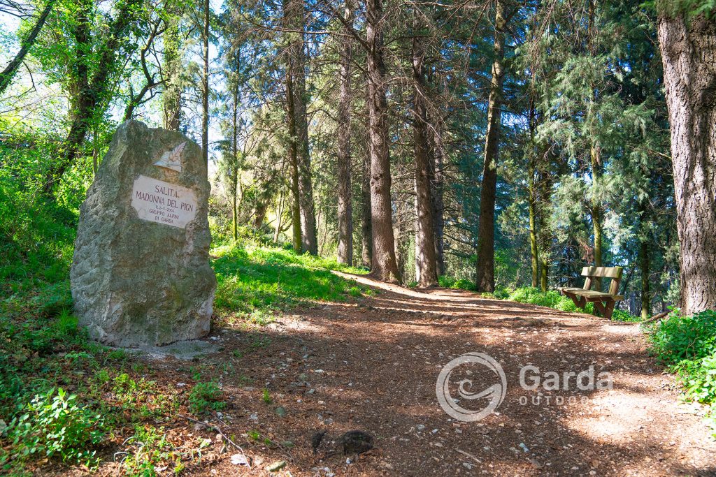
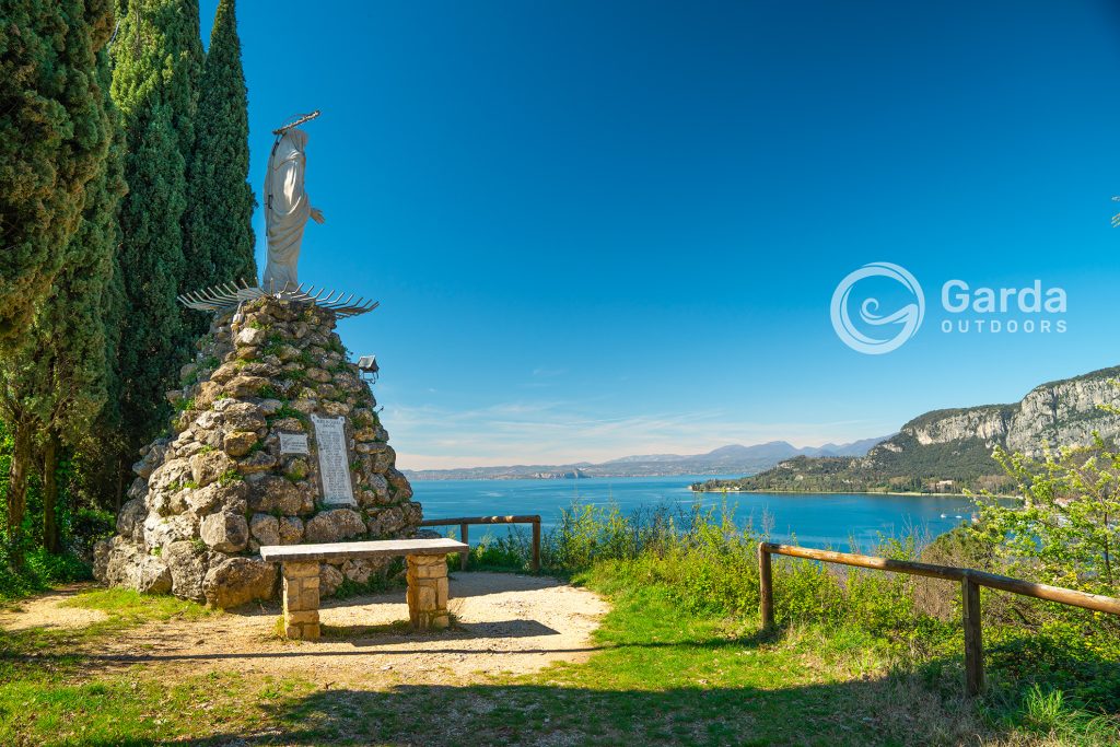
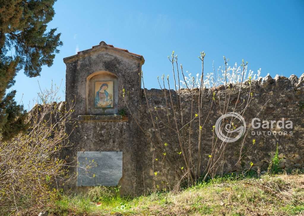
Shortly after starting the ascent towards Rocca, you will find on your right the sign to visit the Madonna del Pìgn. This is a large statue of the Virgin Mary that, after a short climb in the woods, leads to the first viewpoint.
This statue was placed here in 1946, on the hill of Pìgn, as a thanksgiving for sparing the town of Garda from the horrors of the bombings of the Second World War.
The Hermitage of San Giorgio
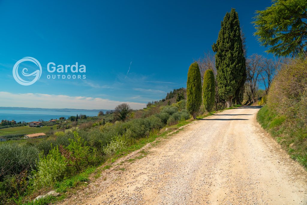
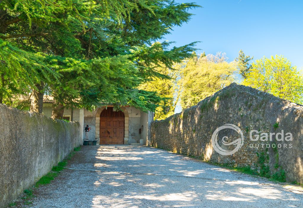
A few meters before the end of the first part of the ascent into the woods, which then continues turning right towards Rocca, you can turn left towards the Hermitage. Attention: the sign indicating the path is not very visible from your direction of arrival. When you reach a flat clearing with a wooden table with benches on the right and one on the left, turn 180° towards the descent and you will see the sign.
The Hermitage of San Giorgio was founded in 1663. Construction continued throughout the seventeenth century and was completed with the construction of the church in 1704. Following the Napoleonic suppression of 1810, the Hermitage was abandoned; the complex was inhabited by farmers until 1885, when the community of Camaldolese Benedictine monks returned to reside there.
The Hermitage is not open to visitors as a tourist destination, however, there is a small shop selling Garda PDO extra virgin olive oil produced in their olive grove (awarded in 2023) and other products from their botanical garden (candies, jams, honey, and natural cosmetic products). It is also possible to attend Sunday mass held at 11:00, the only time the church is open. For further info, we refer you to their website.
The Hermitage can also be reached by car from Bardolino, so if you want to take the short tour to Rocca, you can skip the detour that takes you here.
Rocca Vecchia, from which the name of Lake Garda derives
Here we are finally at the top! The history of this mountain peak dates back to the Bronze Age, followed by the discovery of artifacts and remains of military, religious, and funerary nature dating back to Roman and medieval times.
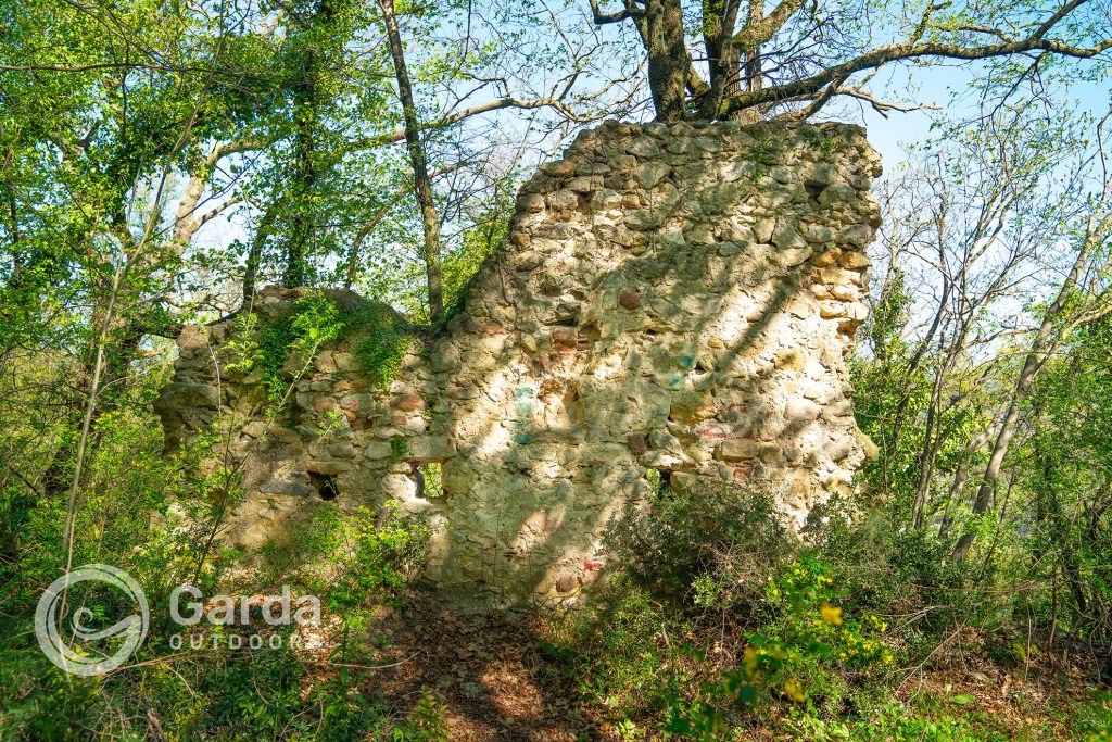
A fortress was erected on its summit in the Lombard period, of which few traces remain in masonry, still visible today among the vegetation. This quickly became a stronghold of enormous strategic importance, and it is precisely thanks to it that the toponym “Garda” (from the ancient Germanic “Warda” or “Warte” meaning “guard” or “fortress”) was employed initially with reference to the locality and subsequently to the entire lake, replacing the much older Latin name of Benaco.
According to some historical sources, Queen Adelaide of Burgundy was even imprisoned in this fortress in 951.
In 1193, Emperor Henry VI ceded Rocca di Garda to the City of Verona for 700 silver Marks.
The fortress was finally demolished for unknown reasons by its own defenders at the beginning of the 13th century.
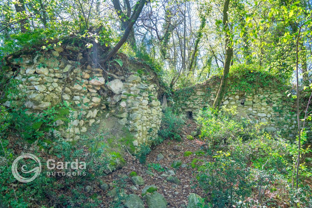
As you ascend through the woods towards Rocca, also notice several rock-cut galleries dating back to the world wars.
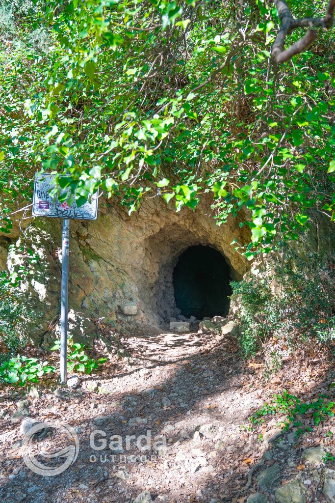
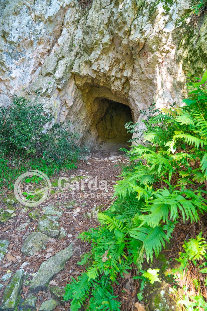
And finally, you have arrived at the top!
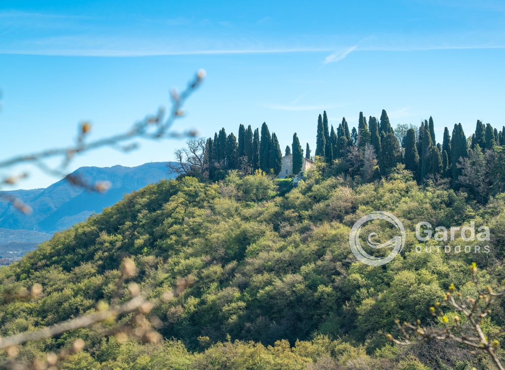
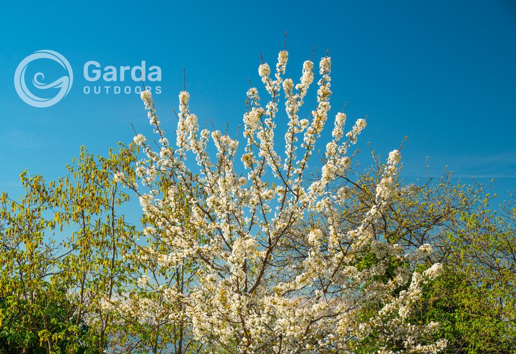
Now all you have to do is enjoy the view; we assure you that these photographs barely capture the immensity that your eyes will see.
Tips for photographer friends
If you want to see the panorama well with the blue lake and all the illuminated coasts, the best time to shoot is undoubtedly early in the morning as the sun will be behind you, reviving shapes and colors.
Then you absolutely must witness the magical hour of sunset because, if you are lucky, you will have a fiery sky before you.
Happy hiking dear Outdoors!
Silvia Turazza – Garda Outdoors Editorial Staff”
Choose where to stay, where to eat, and which experiences to have on Lake Garda
Visit the Garda Outdoors marketplace and discover the best deals for your stay here. You’ll find a world of opportunities!
